After a brief absence, the climate pattern known as La Niña has returned — and forecasters say it could play a major role in shaping this winter’s weather.
La Niña is part of the natural climate cycle called the El Niño–Southern Oscillation (ENSO), which alternates between warmer and cooler sea surface temperatures in the tropical Pacific Ocean. La Niña is marked by cooler-than-average ocean waters, which can trigger a cascade of weather changes around the globe.
Those subtle ocean temperature shifts can influence rainfall, drought, hurricanes, and other extreme weather. In the United States, La Niña typically brings colder, wetter conditions to the northern states and drier, warmer weather to the South, with unpredictable patterns across the Northeast.
While La Niña events usually occur every few years, one also appeared during the 2024–2025 winter. The current episode is expected to be relatively weak and short-lived but could still have a noticeable impact.
“Even though it is considered a weak event, likely shorter than normal in duration, its impact is likely to be strongest during the winter season and so plays a large role in the outlooks,” said Jon Gottschalck, chief of the operational prediction branch at the Climate Prediction Center, in an interview with USA Today.
Is La Niña dangerous?
La Niña itself — simply a cooling of the Pacific Ocean’s surface waters — is not inherently dangerous. However, its effects can be. The pattern is often linked to a more active Atlantic hurricane season, an increased wildfire risk in some regions, and a greater potential for floods or other extreme weather events.
Impact on the hurricane season
According to AccuWeather lead hurricane expert Alex DaSilva, La Niña “favors an active end to the hurricane season.”
As of Oct. 21, there have been 13 named storms in the Atlantic, including four hurricanes. A typical season sees about 14 storms and seven hurricanes.
Matthew Rosencrans, lead hurricane seasonal forecaster with the National Oceanic and Atmospheric Administration (NOAA), said La Niña conditions are “associated with more activity (double the amount) in November” compared with neutral or El Niño years.
La Niña reduces wind shear — changes in wind speed and direction that can inhibit storm development — across the Atlantic basin, allowing more tropical systems to form. The Atlantic hurricane season officially ends Nov. 30.
Expected winter effects
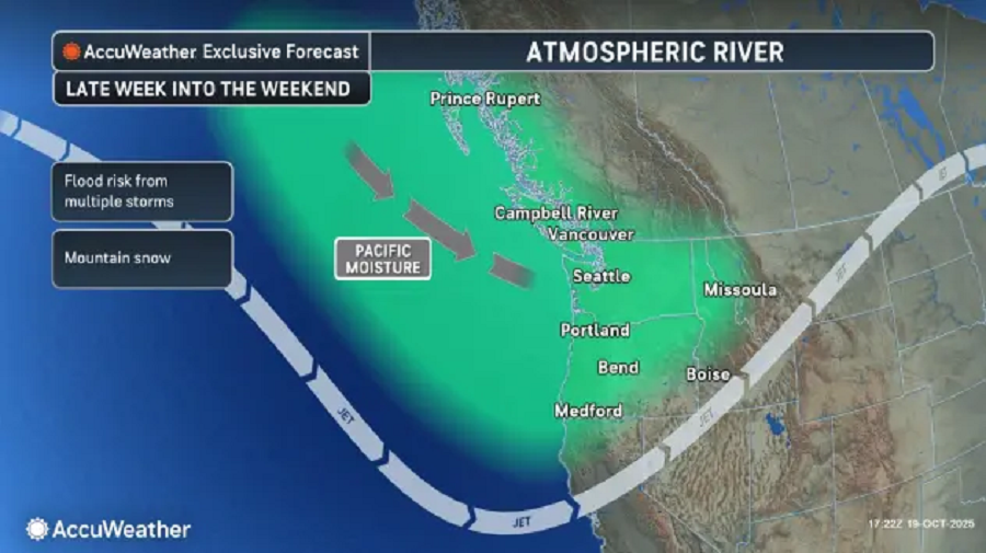
In a typical La Niña winter, the Northwest experiences colder, snowier weather, while much of the South sees unusually dry conditions, according to NOAA’s Climate Prediction Center. The Southeast and Mid-Atlantic generally trend warmer than average.
In the Northeast, faster-moving but less intense storms are likely, resulting in snowfall totals near or below normal and seasonal temperatures, AccuWeather reports.
Tracking La Niña
Scientists monitor La Niña using satellites, buoys, sea-level data, and other ocean-observing systems. NOAA’s researchers track temperature anomalies across the equatorial Pacific to determine when La Niña or El Niño conditions develop.
Why it matters
Understanding La Niña helps forecasters better predict extreme weather, potentially saving billions of dollars in damage and improving preparedness for floods, droughts, and other disasters, according to NOAA.
“Predicting the onset of a warm or cold phase is critical in helping water, energy and transportation managers, and farmers plan for, avoid or mitigate potential losses,” NOAA said.
Celeste Saulo, secretary-general of the World Meteorological Organization, said improved seasonal forecasts for El Niño and La Niña “translate into millions of dollars of economic savings for key sectors like agriculture, energy, health and transport, and have saved thousands of lives when used to guide preparedness and response actions.”